
Geospatial synthesis for integrated land-sea planning
Our work brings together spatial data, ecological and social science, and local knowledge into geospatial syntheses that show how landscapes and seascapes connect, where risks to sustainability are greatest, and what trade-offs lie ahead. Working with communities, governments and regional partners, we co-develop the evidence, scenarios and decision-support tools needed to plan sustainable livelihoods and resilient ecosystems across the Indo-Pacific.
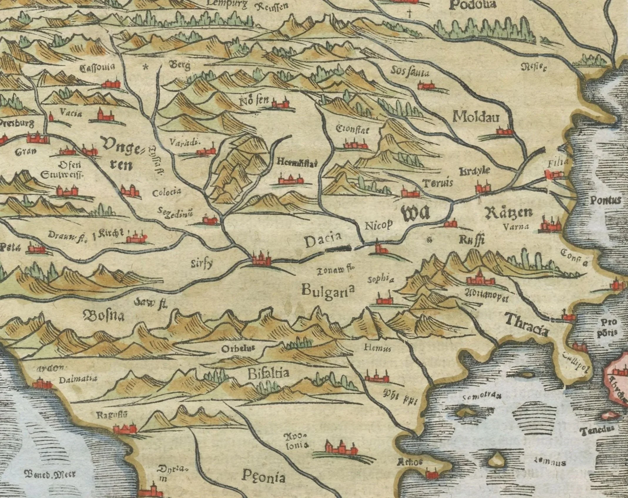
Why "Chorography"?
Chorography comes from the Greek chōra (land, region, place) and graphein (to write or describe). Classical geographers such as Ptolemy used it for the detailed description and mapping of particular regions: their lands, waters, settlements and peoples, including the causal relations between them.
“The goal of the chorological point of view is to know the character of regions and places through comprehension of the existence together and interrelations among different realms of reality and their varied manifestations, and to comprehend the earth surface as a whole in its actual arrangement in continents, larger and smaller regions, and places.”
Hettner, 1927, Die Geographie: ihre Geschichte, ihr Wesen und ihre Methoden (as cited in Hartshorne, 1939)
We have taken up the term because it describes our work: understanding specific places as whole systems, where land and sea, people and nature, and past and future meet. Modern chorography combines that old idea of place-based description with today's geospatial science.